
Railroads came to the South Shore in the mid-1800s, and flourished here in the latter years of that century. They provided transportation to and from Boston for workers, as well as for leisure seekers heading south in the summertime. The Old Colony Railroad established most of the routes, and grew extensively as it merged with other rail systems. In 1893, having increased in size to 617 miles, it was absorbed by the New York, New Haven and Hartford Railroad. Service continued into the 20thcentury, eventually coming to a close in 1959 with the opening of the Southeast Expressway. Some of the South Shore’s train routes have since been revived. Others have faded away. Still others have been converted into recreational rail trails.
According to the Rails-to-Trails Conservancy, Massachusetts currently has 65 rail trails, with 390 miles of public access. Sometimes paved, sometimes topped with stone dust, they offer mostly-flat terrain for a variety of recreational pursuits. Some are wheelchair- and stroller-friendly too. Read on for information about several of the rail trails on the South Shore.
Scituate’s Herring Brook Trail
Beginning in 1871, the Old Colony Railroad traveled through Scituate and Marshfield. In 1938, a hurricane severely damaged the tracks, which were subsequently removed. In Scituate, a small portion of the railroad bed is now an unpaved bike/walking trail. The Herring Brook Trail extends for 0.4 miles through the marsh to the Herring River. Public parking is available next to Dunkin Donuts on the Driftway. Immediately adjacent is the Driftway Multi-Purpose Path, a 2-mile stretch of paved trail set off from the road. Similar to a sidewalk, but wider, it continues to Gilson Road, and links the Herring River Trail to landmarks such as Driftway Conservation Park and the Maritime & Irish Mossing Museum.

Marshfield’s Damon’s Point
Offering a panoramic view of the North River estuary, the pier at Damon’s Point is a popular destination for fishing, photography, and a nice place to watch the sunset. It’s also historic. Right underneath are the remains of a railroad trestle, and the same railroad bed as the Herring Brook Trail. There is a gap in the railroad bed at the southern terminus of Scituate’s trail, where the Herring River flows by. Across the water you can see where the tracks once continued. Heading south through the marsh, they eventually crossed the North River at Damon’s Point, and then continued down the course of today's Damons Point Road. The Marshfield Hills station was at the end of the road, near the intersection with Summer Street. Look for the granite historic marker. Limited public parking is available at Damon’s Point, with priority given to those with mooring parking stickers.

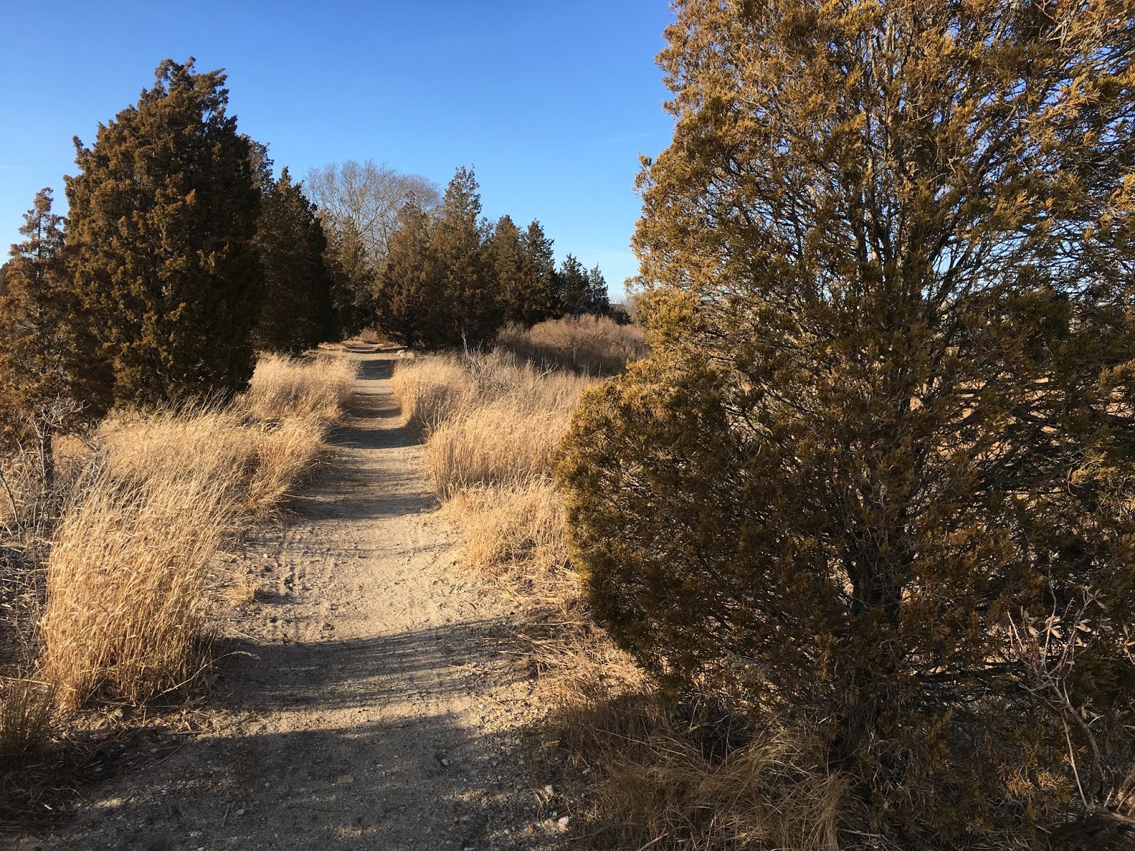
Marshfield’s Bridle Trail and Rail Trail
The Old Colony Railroad bed continues along Summer Street to today’s Station Street, but this section does not currently offer public access. However, what comes next is one of the area’s longest sections of rail trail! The 3-mile route provides connections among the town’s commercial, residential and recreational areas. The Bridle Trail begins at the intersection of Pinehurst Road and Summer Street. It continues through the woods to the Carolina Hill Conservation Area, crosses Ferry Street, and then extends through forest and meadow past two more street crossings. From there, it’s called the Rail Trail, and it continues, again through woodland, and through the marshes of the South River. The Keville Bridge provides a crossing (and also a canoe/kayak launch), and the trail ends shortly thereafter, at Dandelion Park. At its April 2019 Town Meeting, Marshfield approved major improvements to the Bridle Trail. It will be graded, widened where possible, and laid with stone dust. A variety of safety features will be added, including signs at road crossings, informational kiosks, and crosswalks. Parking for the Rail Trail and Bridle Trail is available at Ferry Street (look for a dirt lot at the roadside) and also in Marshfield Center at Library Plaza.

Hanover’s Indian Head River Trail
The Hanover Branch Railroad was also part of the Old Colony system. It extended 7.8 miles from Hanover Four Corners, through South and West Hanover, across Rockland, to North Abington, where it connected with the route to Plymouth. It officially opened in 1868, and provided passenger service, as well as the transportation of materials and finished products to numerous factories. Today most of the industries are gone, and instead the rail trail leads through the forest and along the Indian Head River. The Indian Head River Trail extends from Luddam’s Ford Park in Hanover to the Hanson town line. Some sections of the two-mile route are muddy; others require detours to Water Street, or along narrow wooded footpaths. But visit this trail and you will not be disappointed! As you walk, look toward the river. You’ll see occasional spurs, and if you follow them, you’ll be granted some gorgeous views of the Indian Head River. Public parking is available at Luddam’s Ford Park in Hanover, and also mid-route, on Water Street.

Rockland’s Rail Trail
Another section of the same railway begins on the Hanover-Rockland town line and extends to the current MBTA Commuter Rail at North Abington. This mostly-paved rail trail is wide and flat, and provides a 3-mile route for pedestrians and cyclists. Much of it is also stroller and wheelchair friendly. There are numerous access points. From the eastern side, you can park in the cul de sac at the end of Circuit Street in West Hanover, and follow a short path through the woods to the trail. It’s important to know, however, that this is by far the most rustic section. The ties and rails are still intact! For anyone traveling with wheels, this isn’t a good option. More user-friendly access points – all with public parking -- include Rockland’s Police Station, Senior Center and High School, and the North Abington MBTA station.
by Kezia Bacon
April 2019
Kezia Bacon's articles appear courtesy of the North and South Rivers Watershed Association, a local non-profit organization devoted to protecting our waters. For membership information and a copy of their latest newsletter, contact NSRWA at (781) 659-8168 or visit www.nsrwa.org.
